Colorado 14ers: Mount Oxford
The Tries
Nestled between Mount Elbert and Mount Harvard, Colorado’s tallest and third-tallest (by a single foot!) Fourteeners lies a group of four of them. One, Huron Peak, stands alone on a ridge West of the other three, who cluster around a beautiful alpine valley, Missouri Gulch.
On paper, the group of three looks very doable on a single day. It consists of Mount Belford, Mount Missouri, and Mount Oxford (for short, BelMisOx). In fact, plenty people do all three in one day, and AllTrails has a description of the entire hike. The rub is that it’s a very long hike with a lot of ascending and descending, so you have to start really early, preferably when it’s dark.
My first attempt was in 2021. I remember it well, because it was the year of tragic wildfires that burned down a lot of the state. The basic idea was to drive to the trailhead (Missouri Gulch) in the early morning, then climb Mount Belford first, followed by Oxford, and last Missouri. The sequence came from the fact that the trail from Belford to Oxford was relatively easy, being only 1.5 miles each way and dropping only to 13,500. The hike to Missouri, on the other hand, required descending to 12,600 and re-ascending to over 14,000.
In my sequence, I would go up to Belford and bag it. If I had enough energy, I would move on to Oxford. After coming back, I’d have to evaluate weather and energy and decide whether to try Oxford.
I made if up Belford in the soupy and smoggy air and knew I didn’t have it in me. I could have made it to Oxford, but an amazing hiker came from there and said the trail was awful. I packed up and drove back home, happy I had managed one of the trio.
In 2022, I tried again. This time, I came better prepared. In fact, we camped in Missouri Gulch, trying to split the vertical in two. Since the ascent into Missouri Gulch is a bitch on its own, that made perfect sense. Only that the weather was unseasonably cold and rainy. The night was a freezing nightmare, the rain froze into an ice sheet, the camp stove wouldn’t light up because the piezo was too wet to spark. We woke up and hiked down without having ascended anything at all.
In 2023, the third try. This one was not really an attempt to ascend Oxford, but I was dreaming of maybe leaving my companions to rest while I finished the task. We managed Missouri, we saw a couple guys that were doing the triple ascent, but by the time we were down it was already 4p and too late for me to try to hit the next peak.
The Layout
Getting to the trail head is relatively easy. You drive from either Leadville or Buena Vista to Clear Creek Reservoir on US 24, then take the forest road (390). This is fairly long and progressively rocky, but you should be able to make it all the way in any kind of car, if you know how to avoid rocks and ruts and holes on the road.
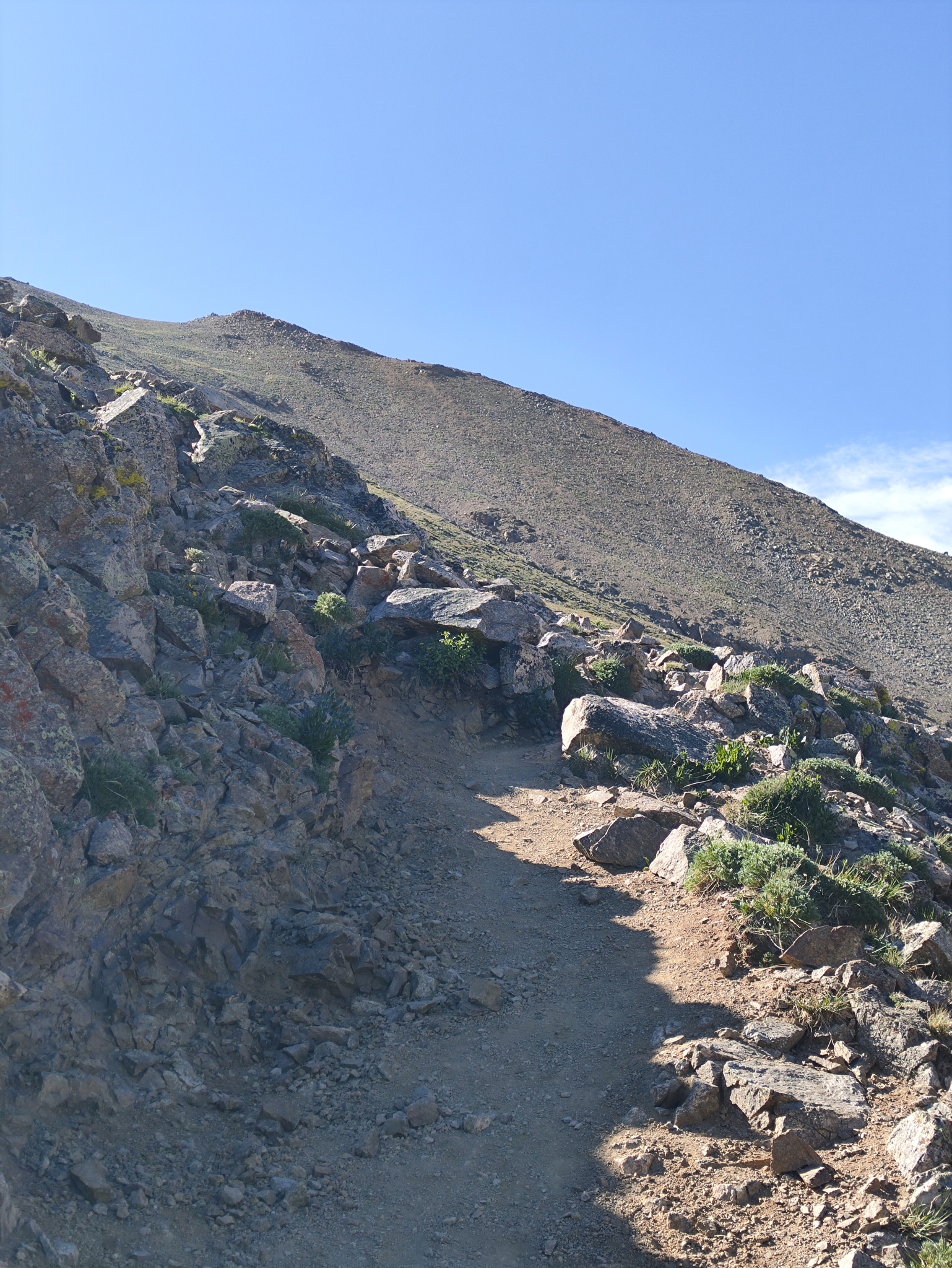
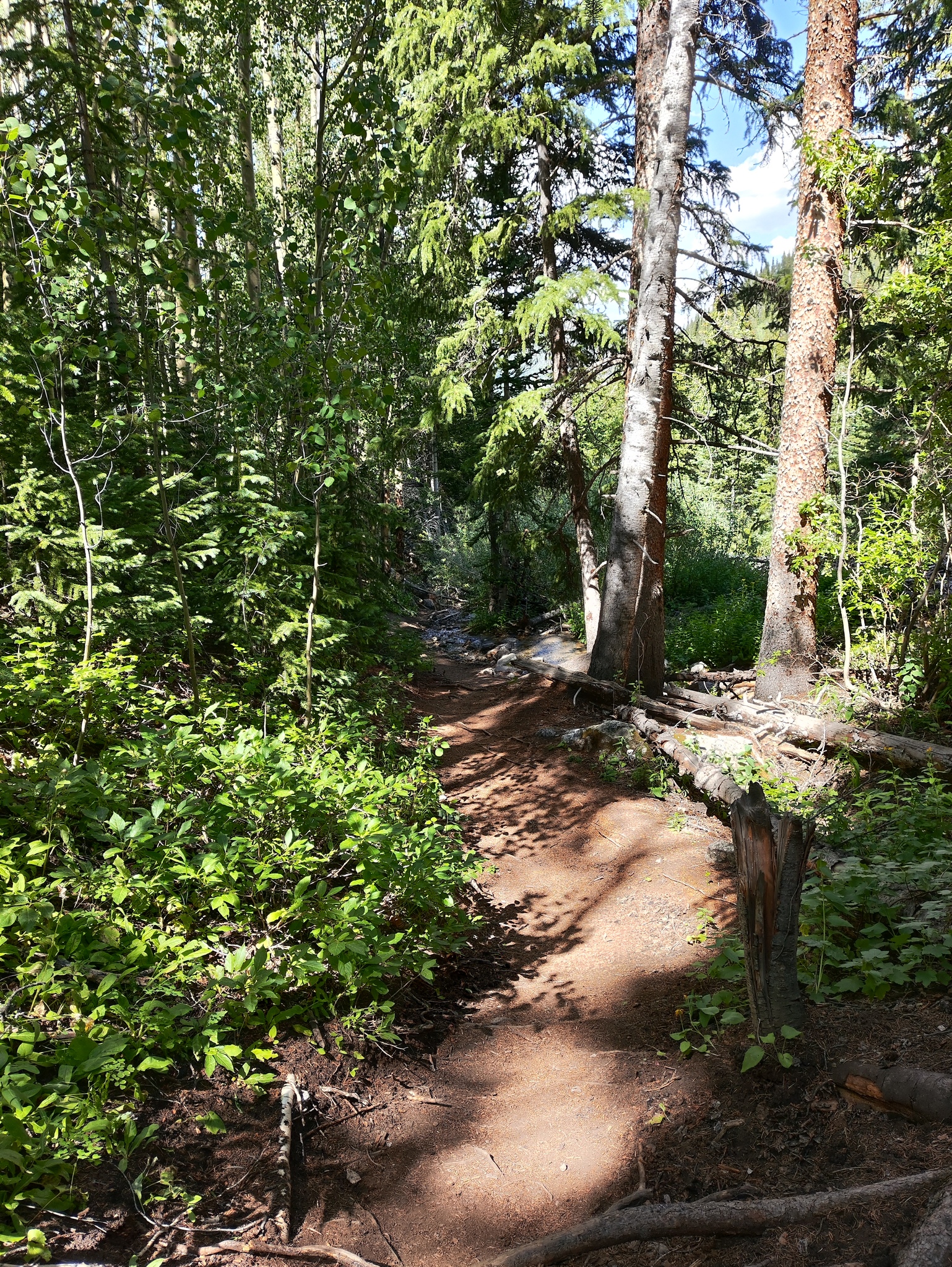
Trail head parking is pretty large, indicating that the hike is usually busy. You start by crossing Clear Creek on a serious looking bridge, then you hike along the side of the valley in a series of switchbacks until you hit Missouri Gulch. The initial part is much steeper than in most Fourteener hikes, because you are tasked with getting up the side of valley into a second one.
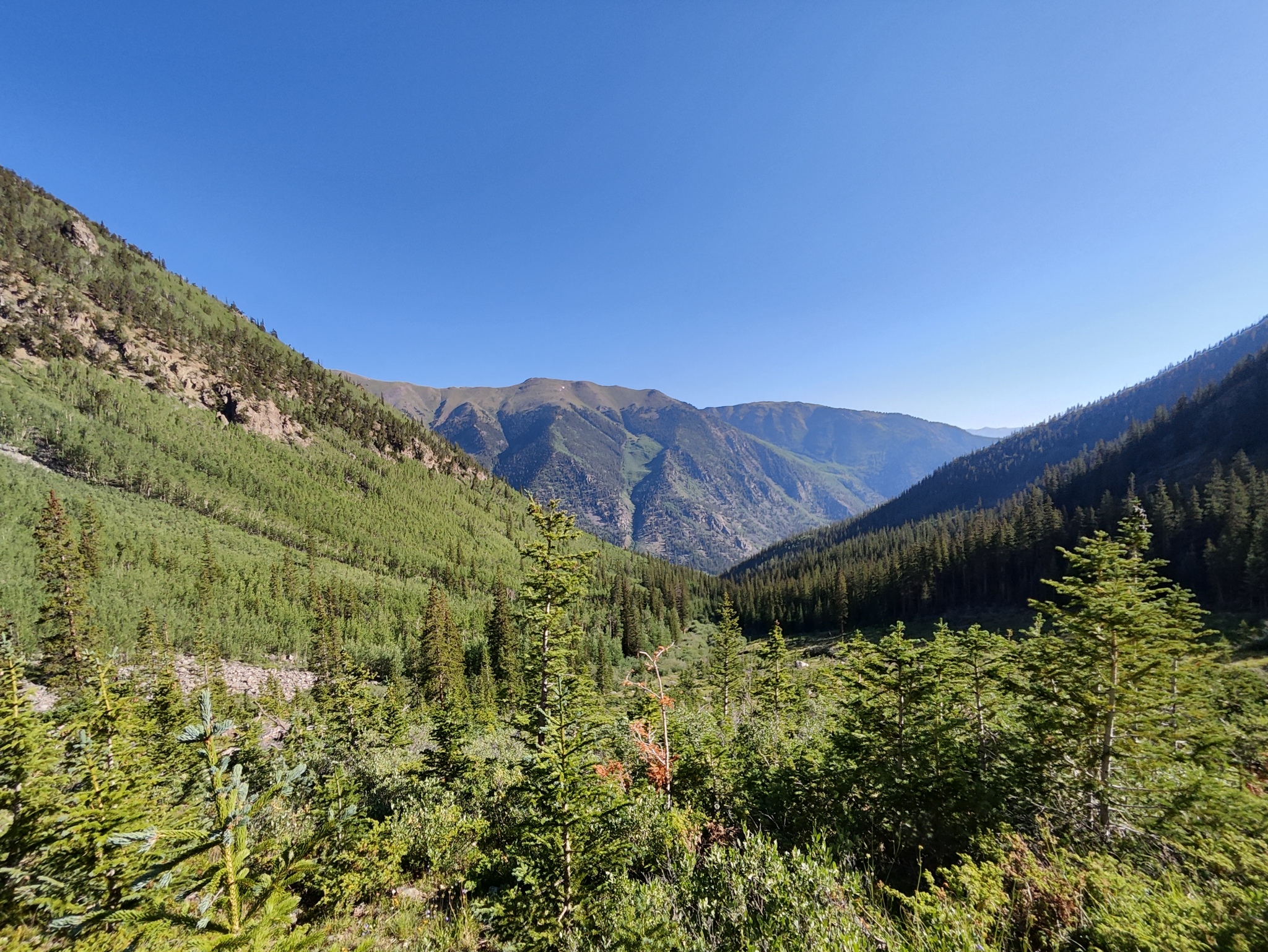
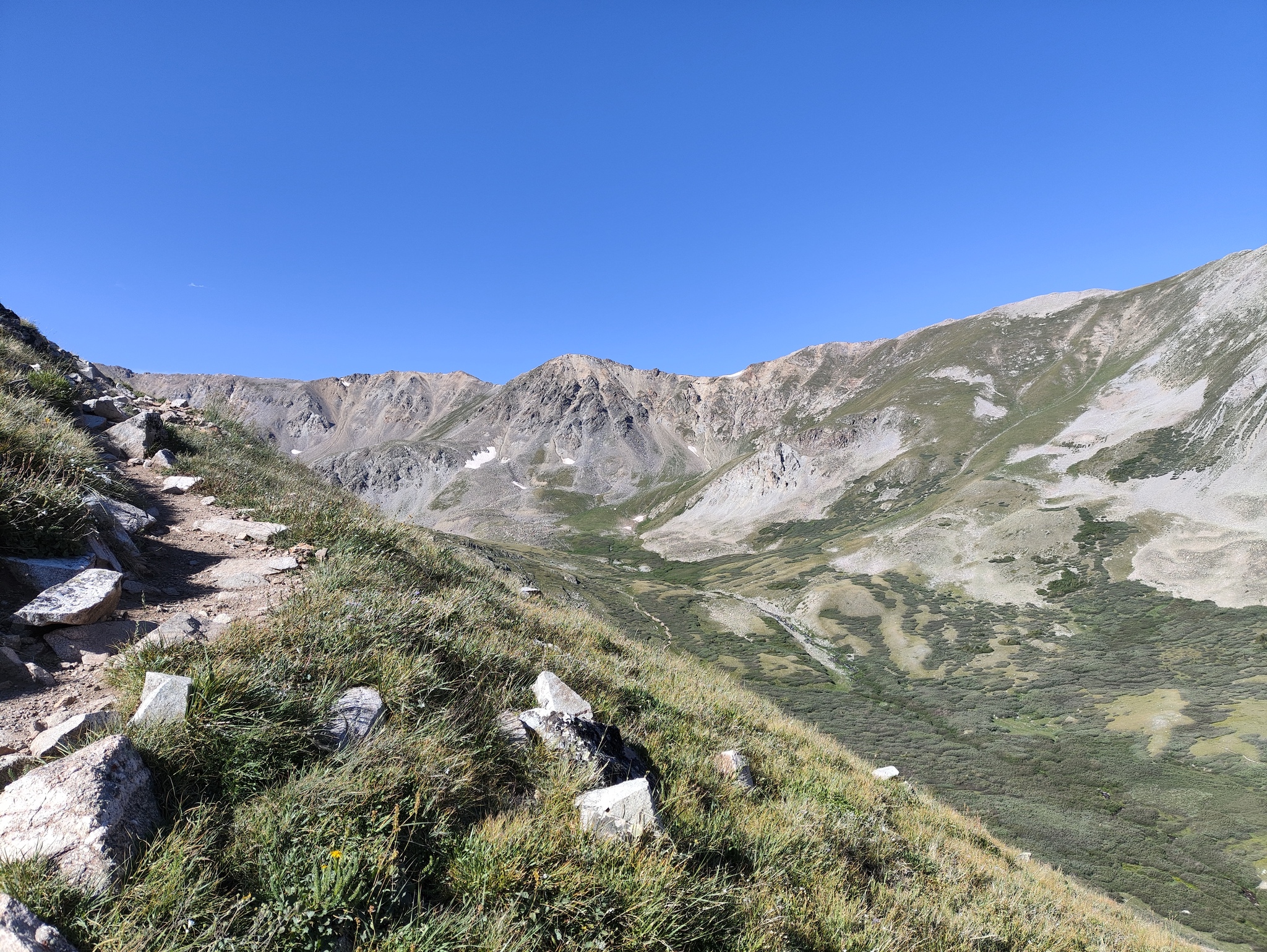
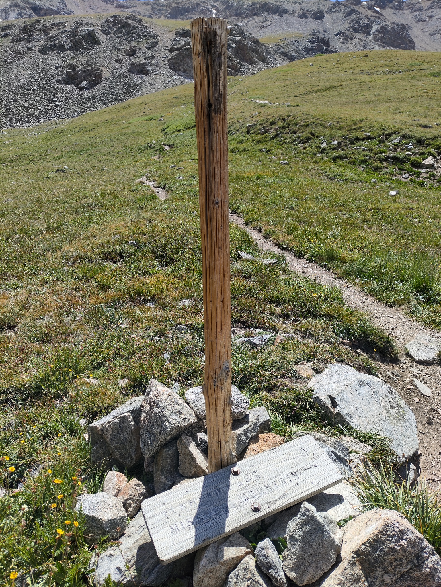
Once you hit Missouri Gulch, you see two of the three Fourteeners. To your left is Mount Belford, the tallest of the three. At the end of the valley is Mount Missouri. The trail now splits: to the left, a steep and switchbacky trail along the North-West ridge of Belford, to the right a relatively flat and straight trail to the end of the gulch. The trail to the right will eventually come to a second fork, the right side going up a steep and switchbacky trail up Missouri, the left going up to Elkhead Pass, from which you can either drop into the valley South, or ascend towards Belford.
Either way, the only way to Oxford is to get to the East ridge from Belford and drop down to the saddle between the two, then ascend to Oxford.
The Plan
I decided to revive the original plan from 2021: hike up Belford using the direct route, cross over to Oxford, come back and descend towards Elkhead Pass. Since I had already climbed Missouri, the option to continue up there was not interesting.
I decided to stay overnight and start early in the morning, more because there were cheap options in Leadville than because it was worth it. That’s my issue: I usually sleep poorly the first night in a strange bed, and hence I don’t really benefit from a head start.
For accommodation, I picked the Leadville Motor Lodge. I had been there in 2022 and liked the place. I looked on Kayak and AirBnB and both of them listed the place. But then I decided to check quickly if they have their own site. They do and the rooms were significantly cheaper than on either platform. In particular, AirBnB priced itself completely out of the competition with its insane fees.
Ascent to Belford
I woke up, made breakfast, and drove off. I had done the trip to Missouri Gulch trail head three times already, so it was like visiting an old friend. This season, the road was particularly good, especially the initial part, and I got to the parking lot in no time.
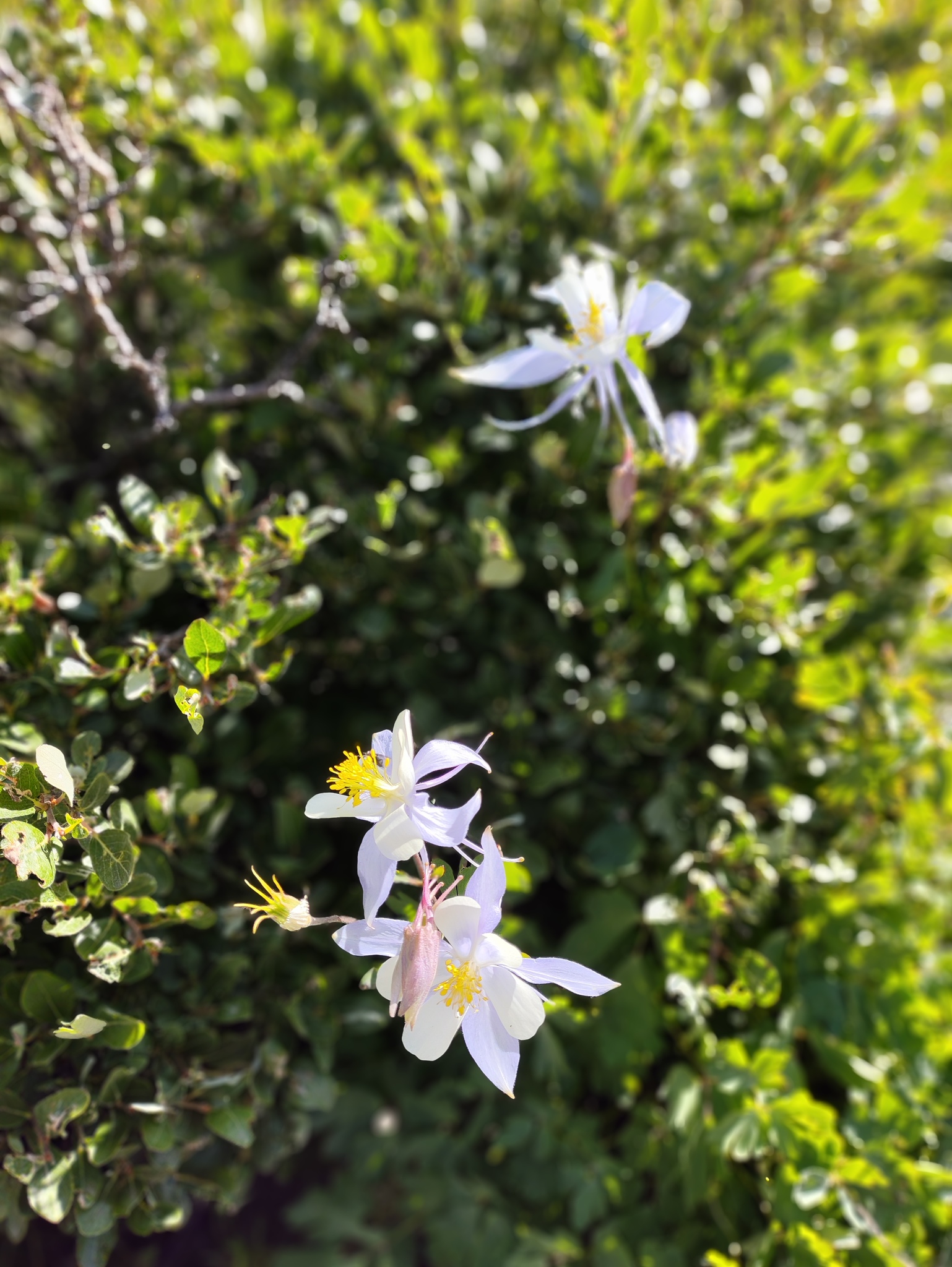
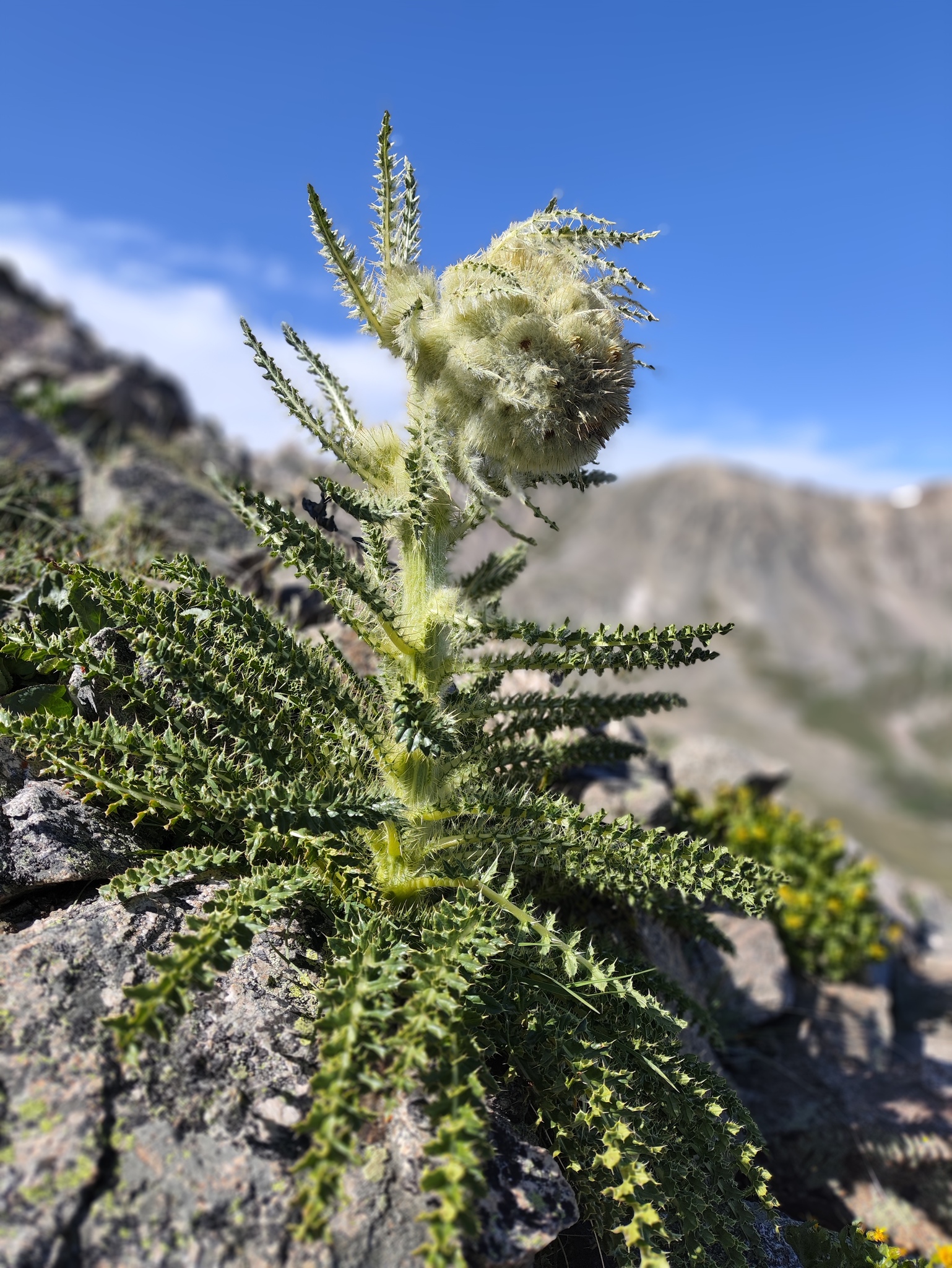
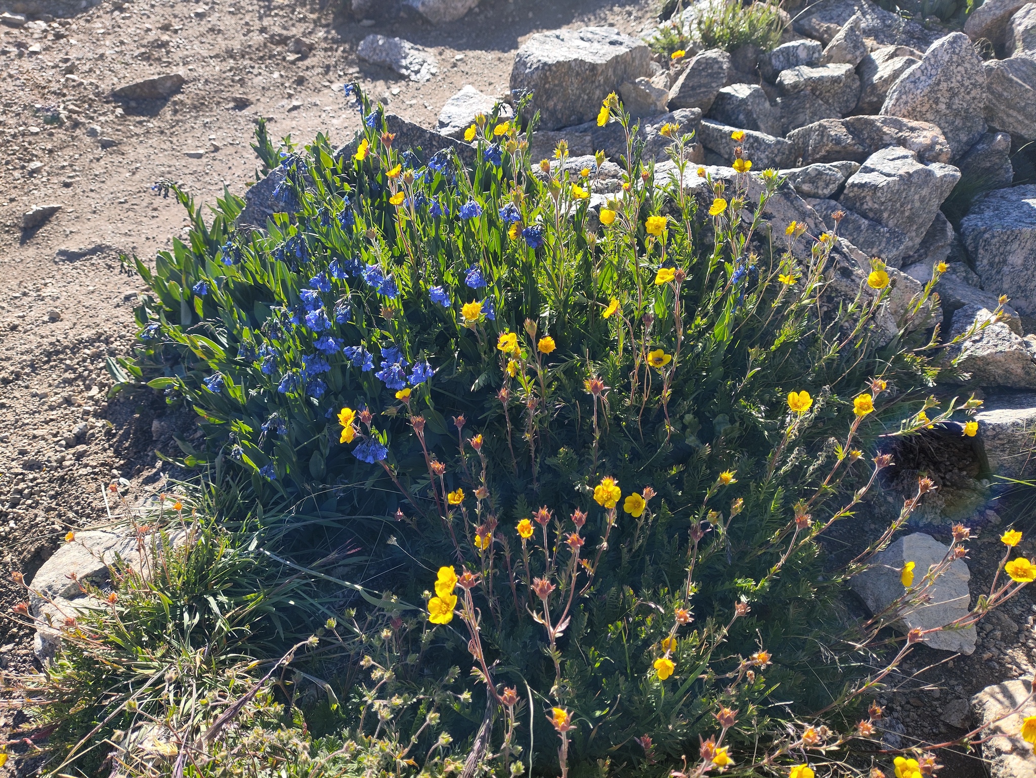
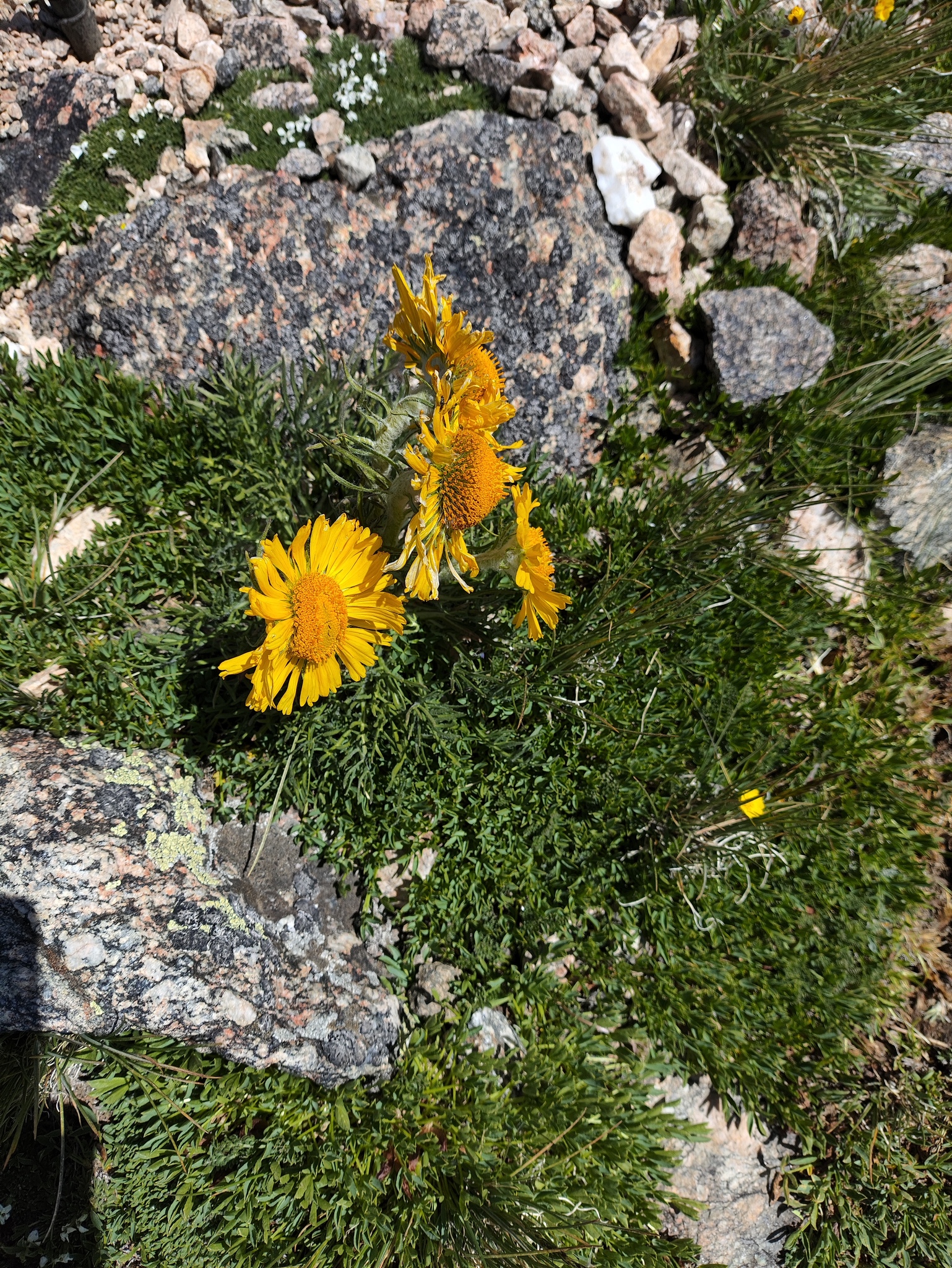
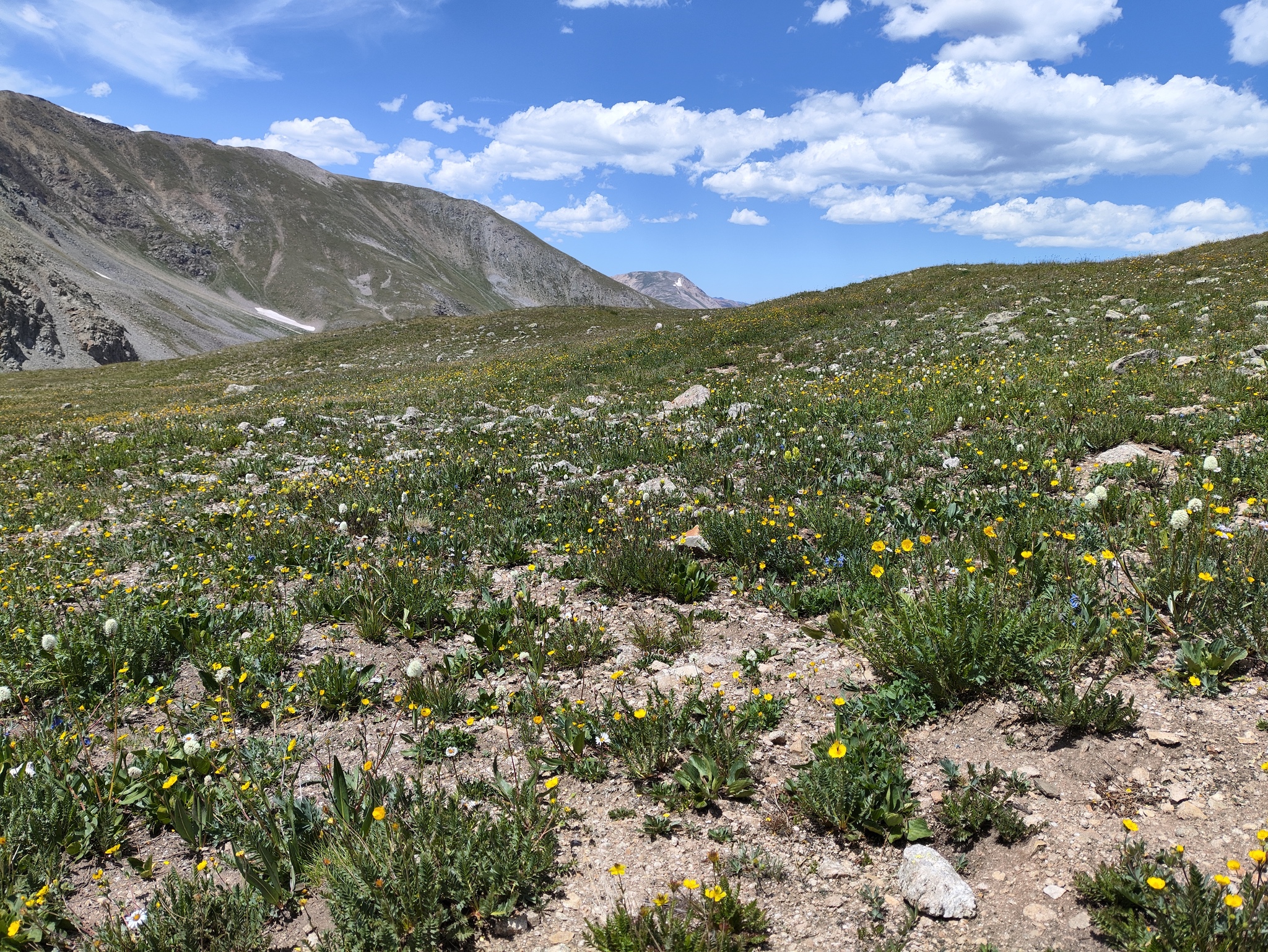
I got out and locked the doors, put on the hat and started the smartwatch, then started the climb. The surprise of the day was the amount of wildflowers, with the columbines being especially beautiful - and plentiful.
The trail was much less busy than usual. In fact, I was missing the social component of Fourteener climbing, having no one to greet and chat with. I hiked up seeing only a single person, then turned left on my way to Belford.
The strangest thing happened here. In prior years, I would have a mid-hike snack break of about 30 minutes, and would add a few 5 minute breaks here and there. On this hike, I marched up without the faintest stop, other than to take a picture.
In particular, I recall that I had to start counting steps about half-way up the Belford switchbacks. 50 steps, then stop for a few minutes, then 50 more. All the way to the top. This time, I just marched and marched, much to my surprise. A lot of it must have been the much better air.
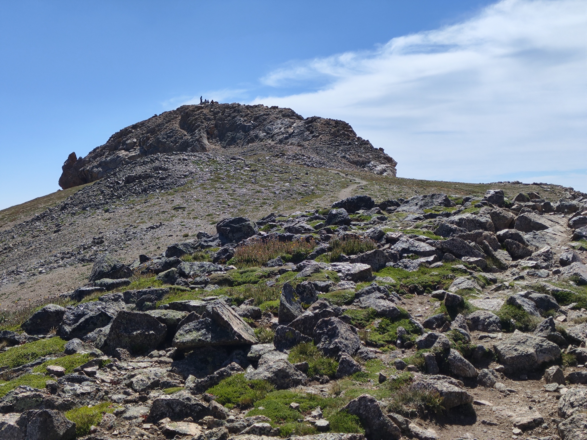
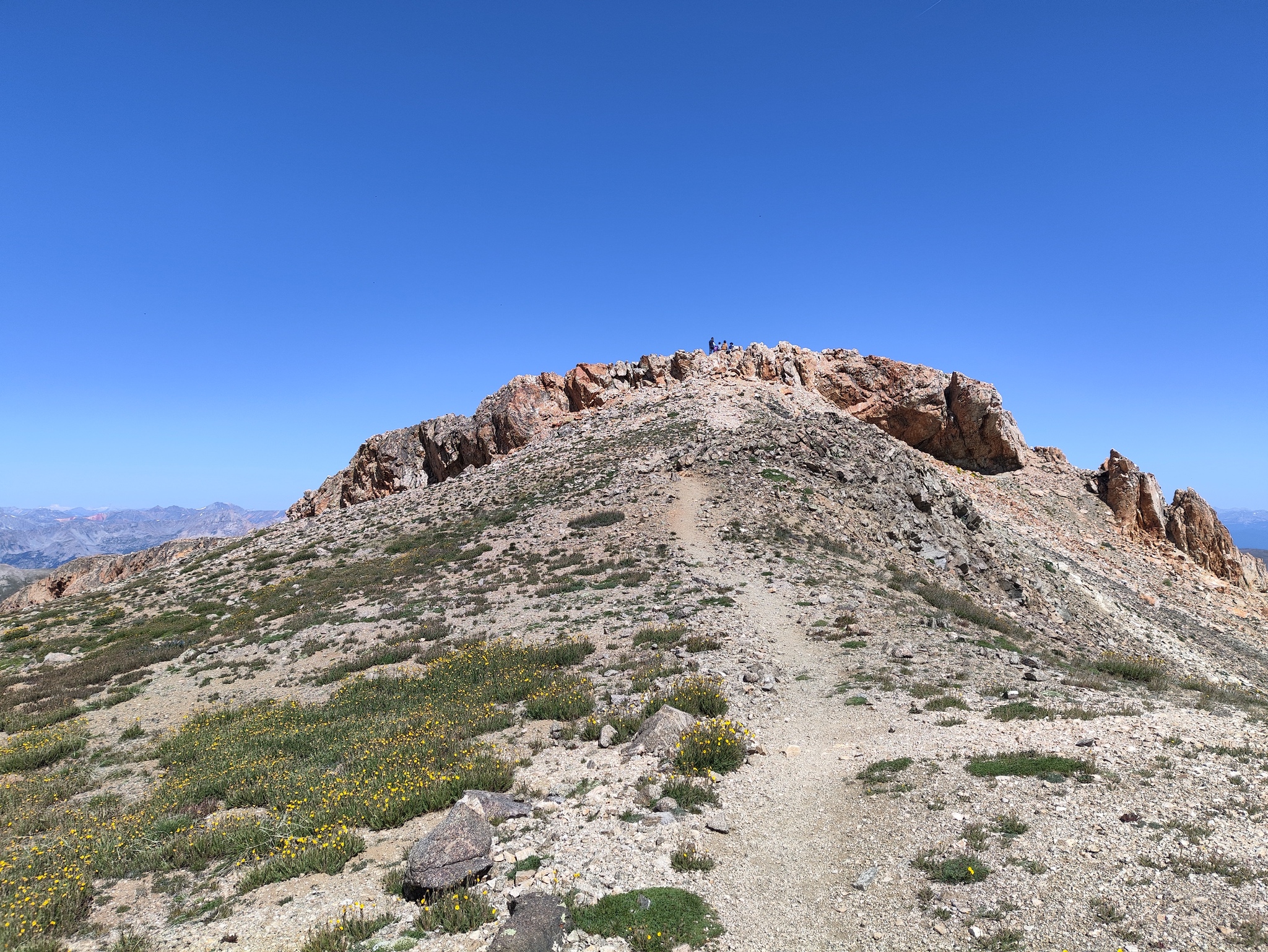
Eventually, the endless series of switchbacks ended and I was on a plateau. From there, another quarter mile and the rocky cap of Belford showed up. With other Fourteeners, like Elbert and Grays, you wonder how they could have stayed that tall, considering they are just piles of rubble. But Belford has a rock cap that looks like a boat floating on dirt, and you know why it hasn’t sunk.
I got to Belford and still didn’t want to stop. Sadly, there is no way to bypass the summit, so I had to get up there. A family of five was lounging around and dad yelled at the kids to get out of my way so I could take a Summit Selfie. I thank him profusely and said I was just marching through, which made the five of them all gag in surprise.
From Belford to Oxford
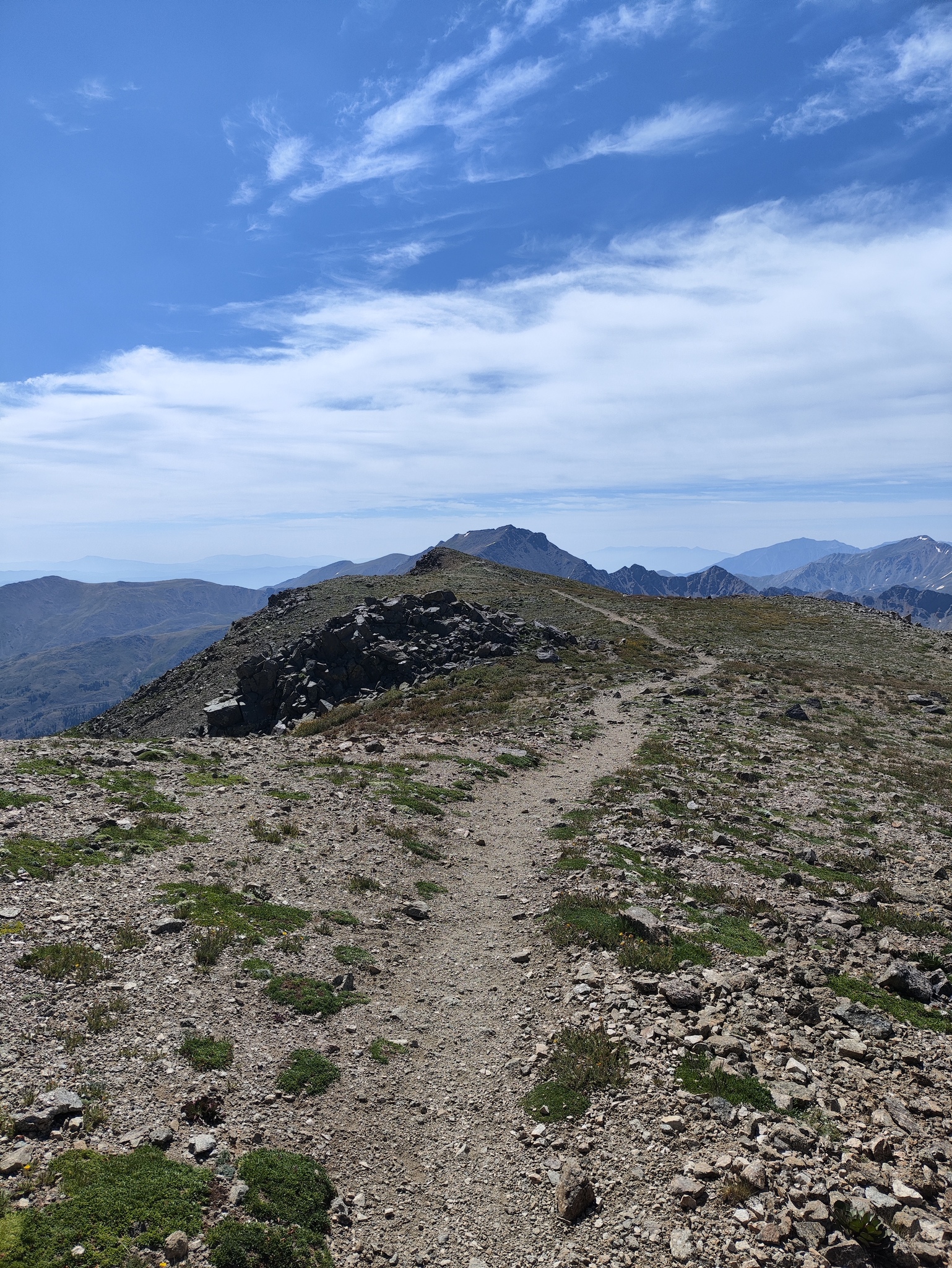
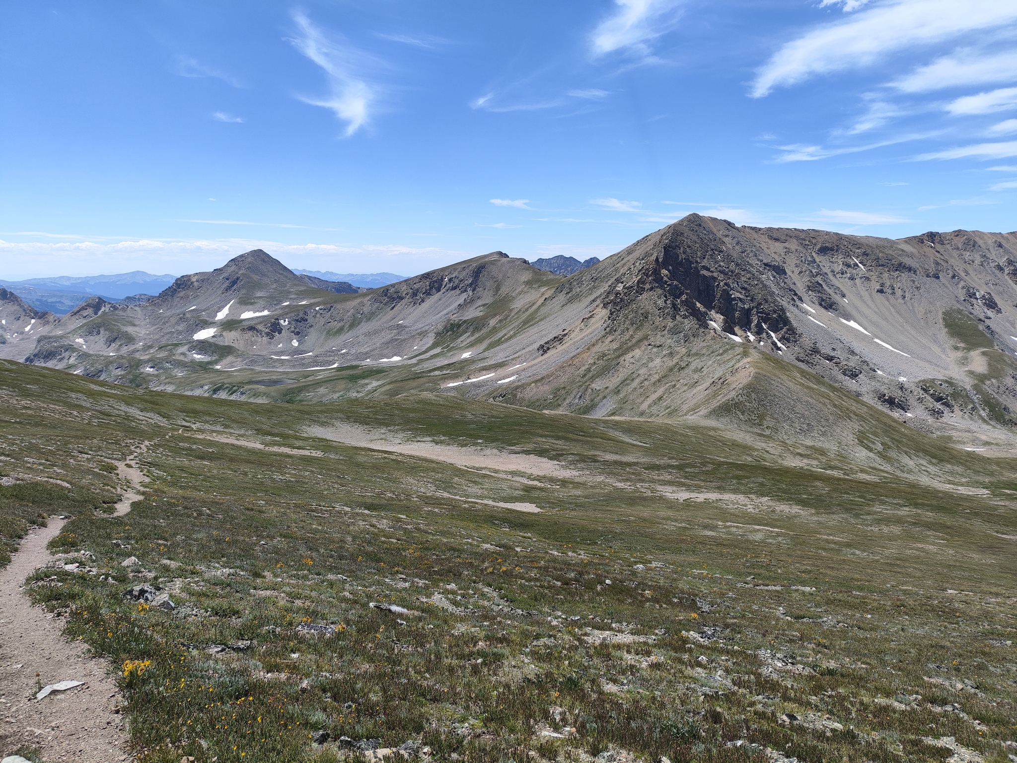
I had a clear idea of the trail from here on, despite not having taken it before: I would hike South-East to the split between the Elkhead Pass trail and the Oxford trail. I would turn left/East and descend the relatively steep and crumbly trail to the saddle, and from there I would take the much less steep and much more solid trail up Oxford. The distance from the split to the saddle was about half of that from the saddle to Oxford.
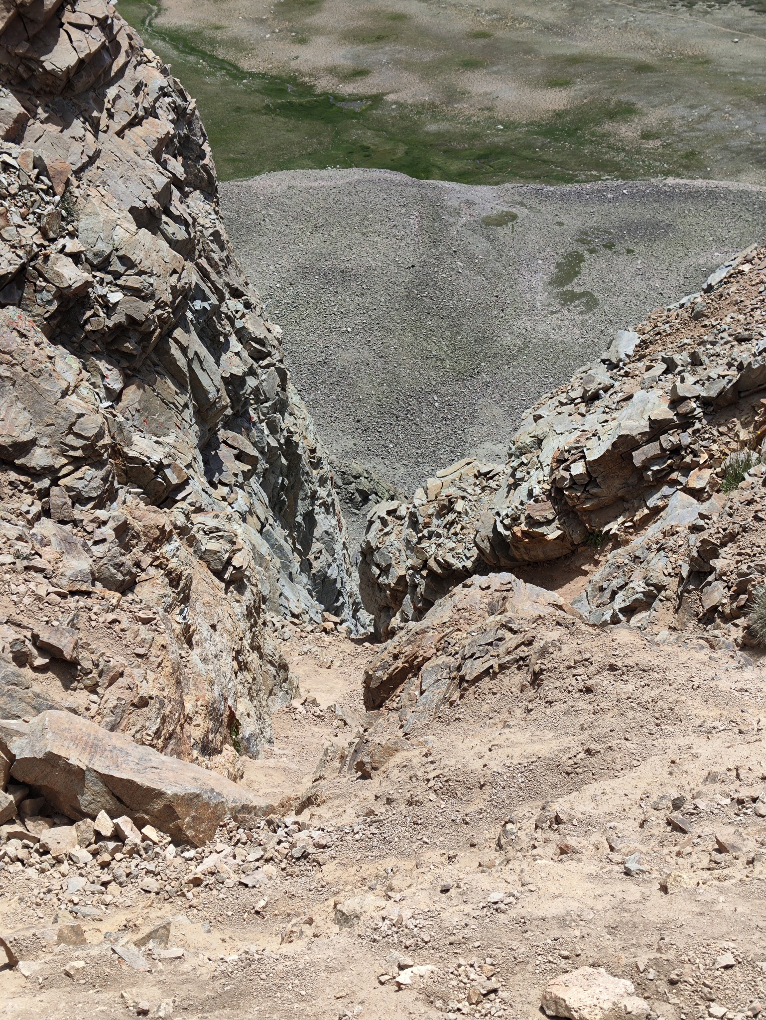
I started and, for mysterious reasons, crossed paths with more people on the descent than on my entire ascent, six times the length. People seemed to be in a good mood, which indicated the trail was probably not as terrible as I feared. And, indeed, aside from being slippery in sections (hiking poles helped a lot!), the trail was acceptable.
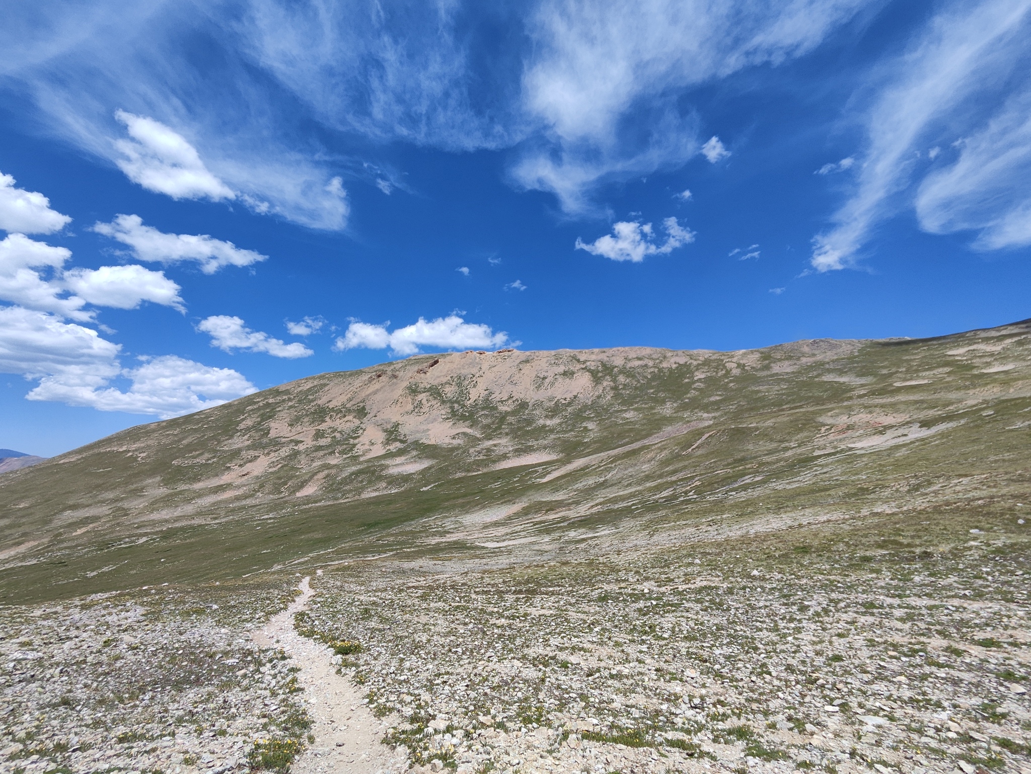
I reached the saddle and started the ascent, and it was indeed much easier. The trail itself is very visible and almost straight most of the time, and while there were a couple false summits, since the trail was not steep they didn’t really make a difference.
Eventually, I reached a flat area that must have been the summit. I sound tentative because Oxford is another one of those cursed Fourteeners that are a pile of dirt, and it was not immediately apparent which of the taller piles was the summit. There was one at the beginning of the plateau and another one at the end, and I couldn’t tell which was which.
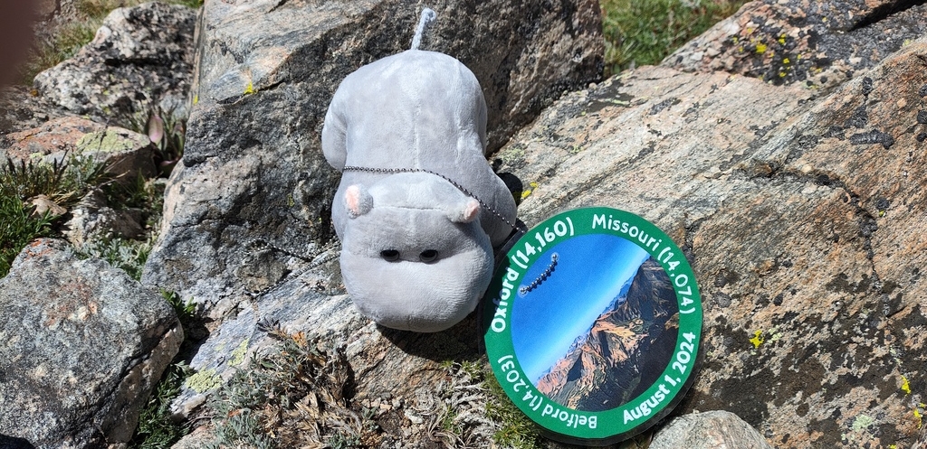
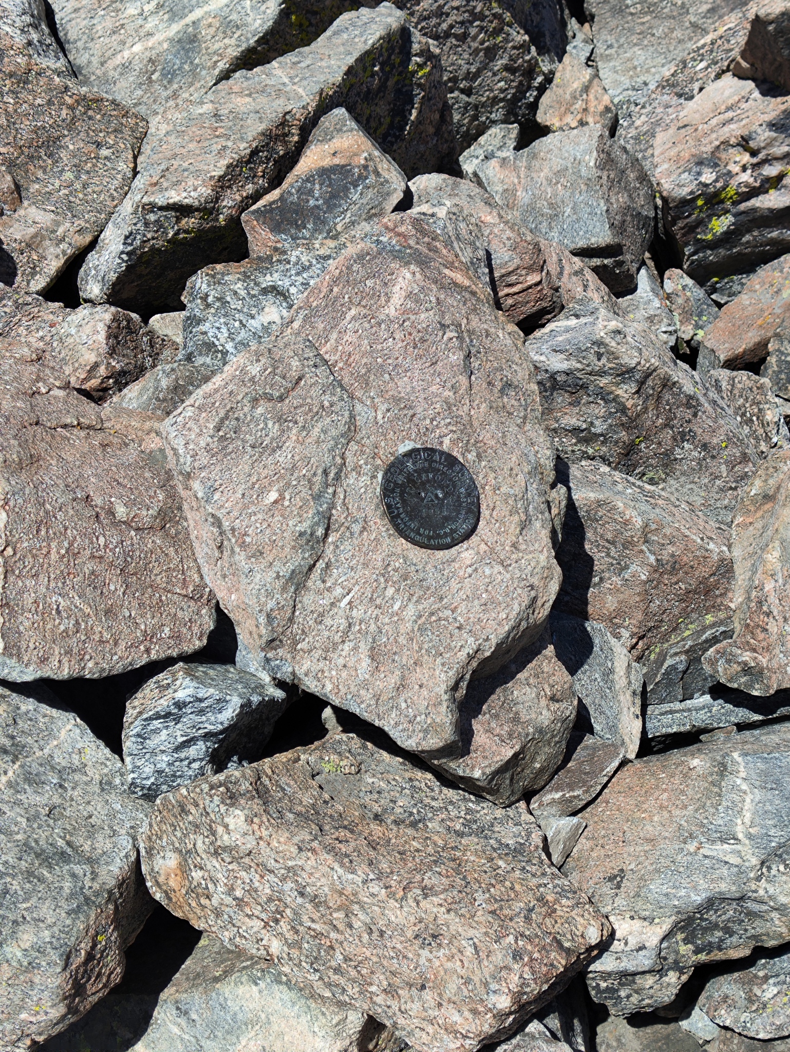
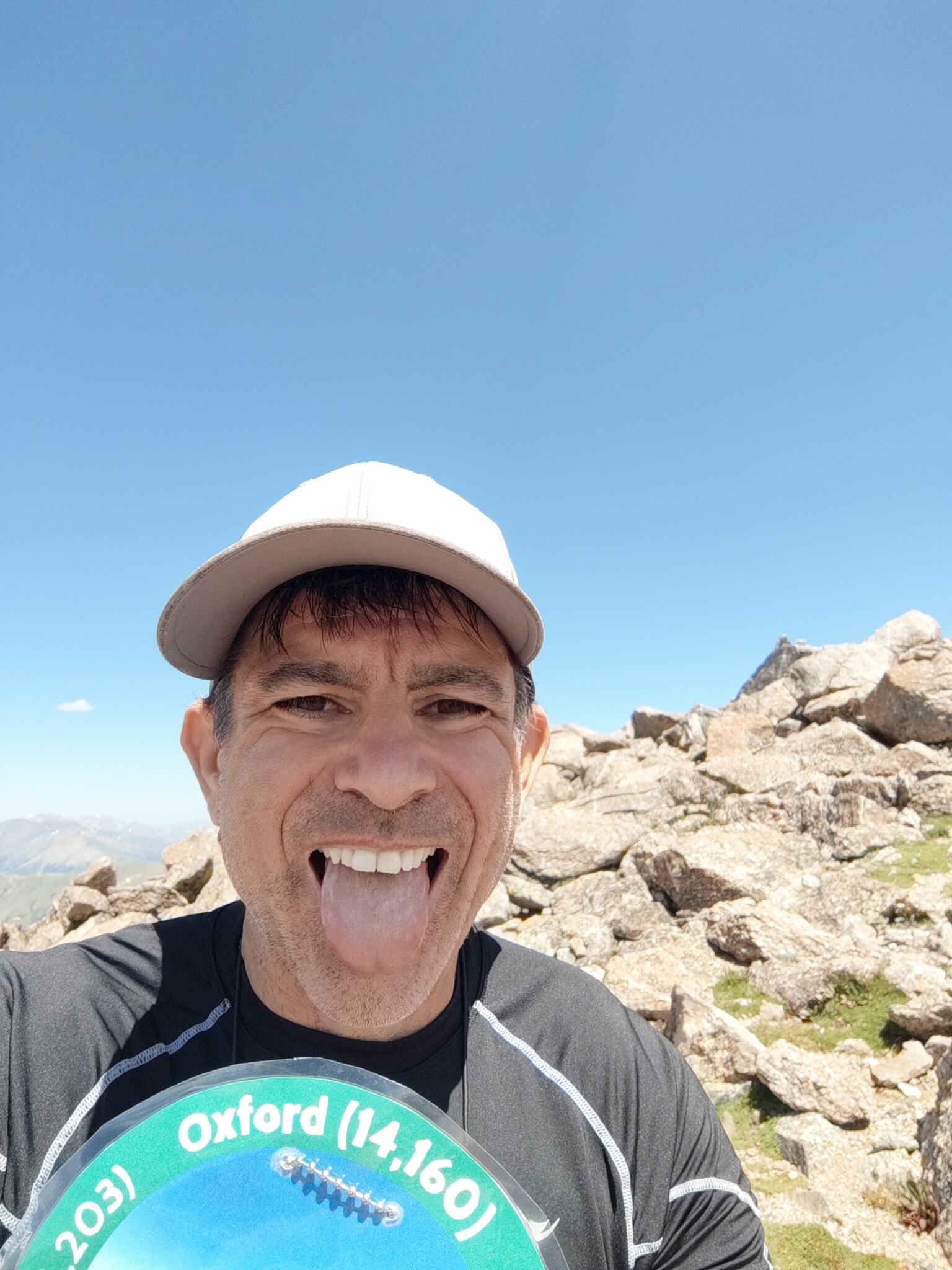
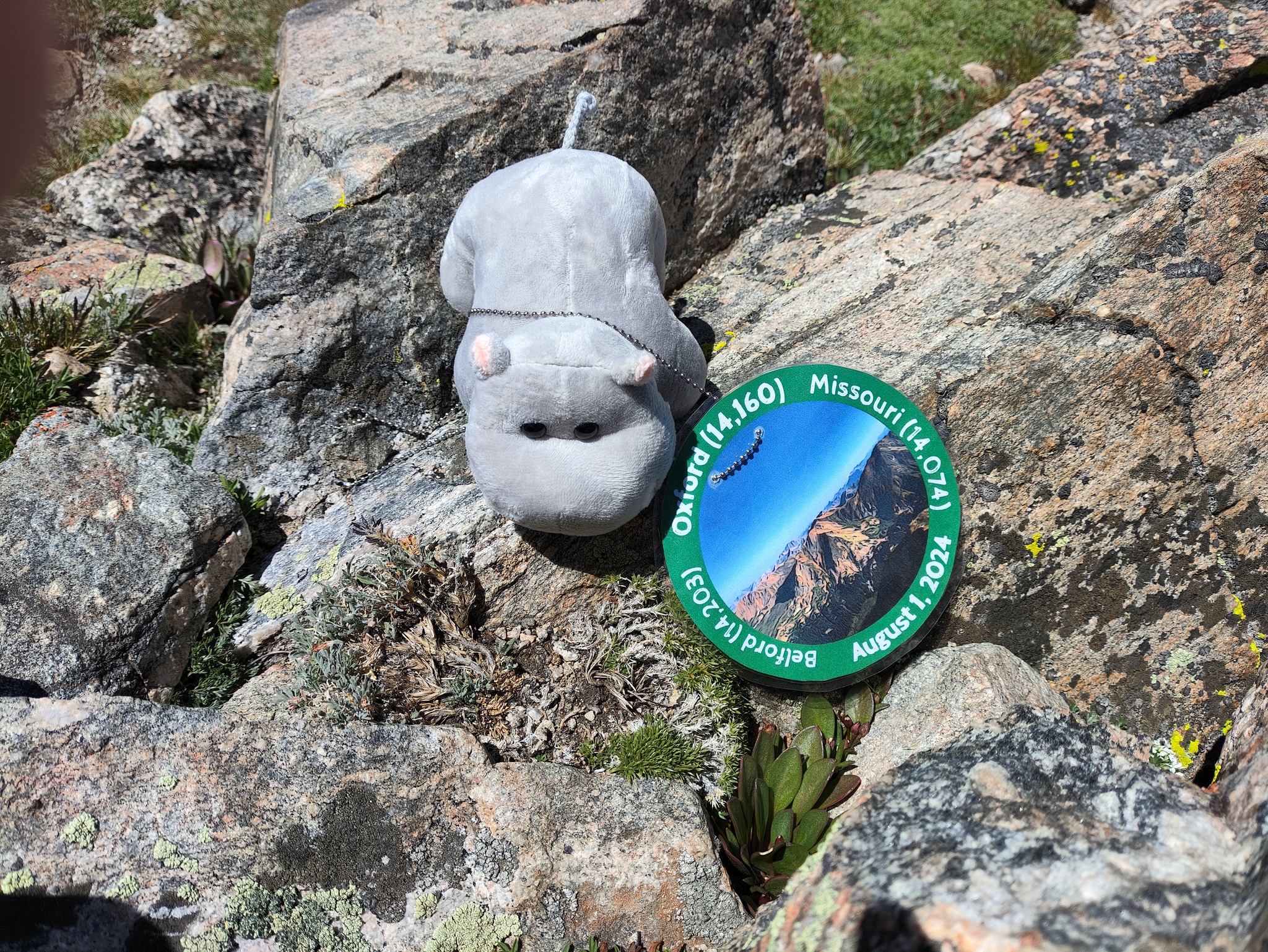
Finally, I found the summit marker on the first pile, so no need to roam around when you get there. Sadly, the summit was beset with annoying flies (thanks to the annoying people that leave food behind on the summit), so I took my selfies and moved away from the summit proper. This is where I had the first break of the day. I had my summit sandwich (a tradition!) and drank my coffee.
The Descent
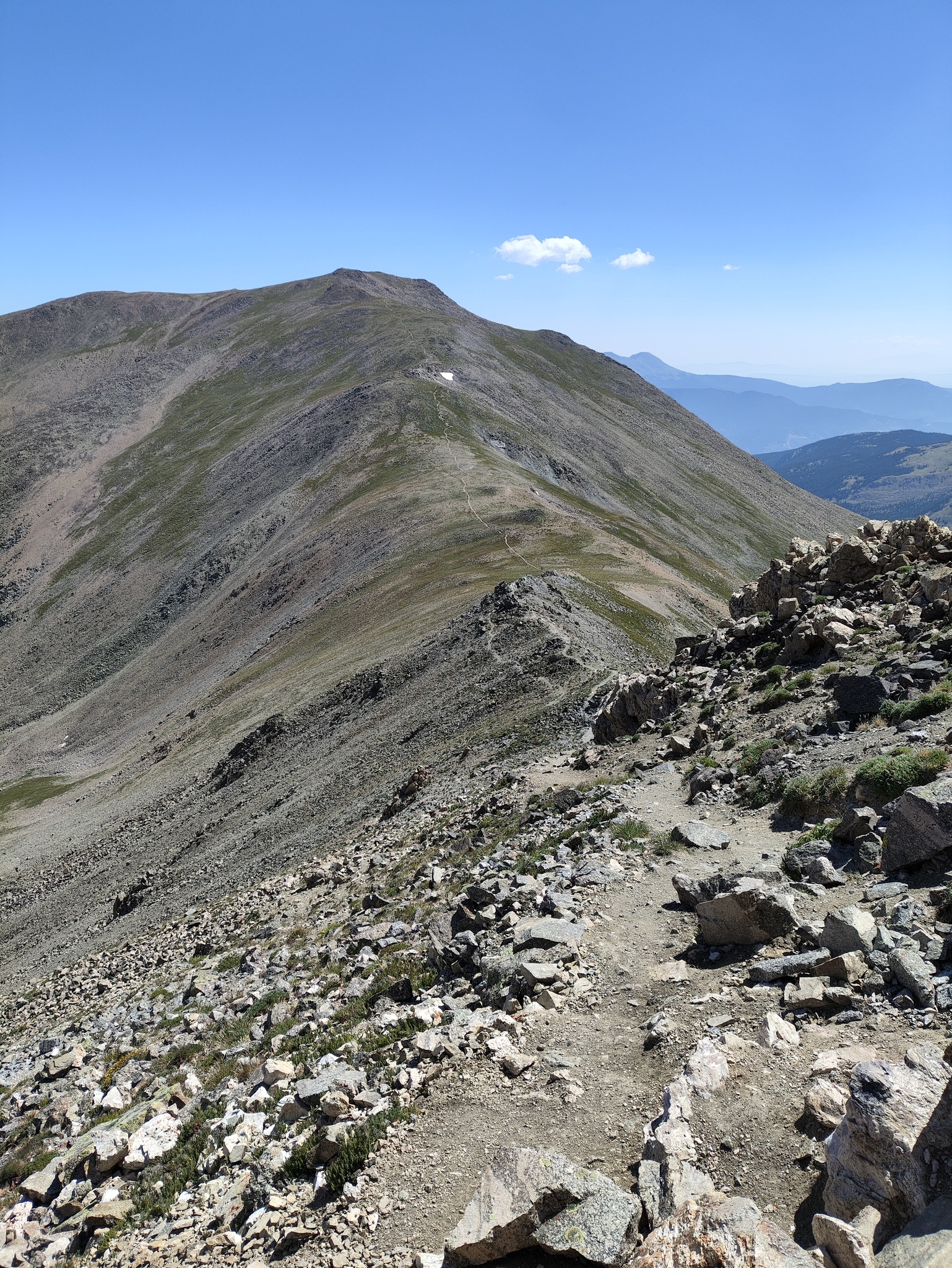
Coming down to the saddle from Belford had confirmed that I didn’t want to go down the switchbacks, which meant that I would go down to Elkhead Pass. I moved from the summit and headed down, then back up to the South ridge, then along the trail there to Elkhead Pass. As usual, the hike down a Fourteener is always the worst part of it, since all you want to do is be back at the car. It was going to take a while.
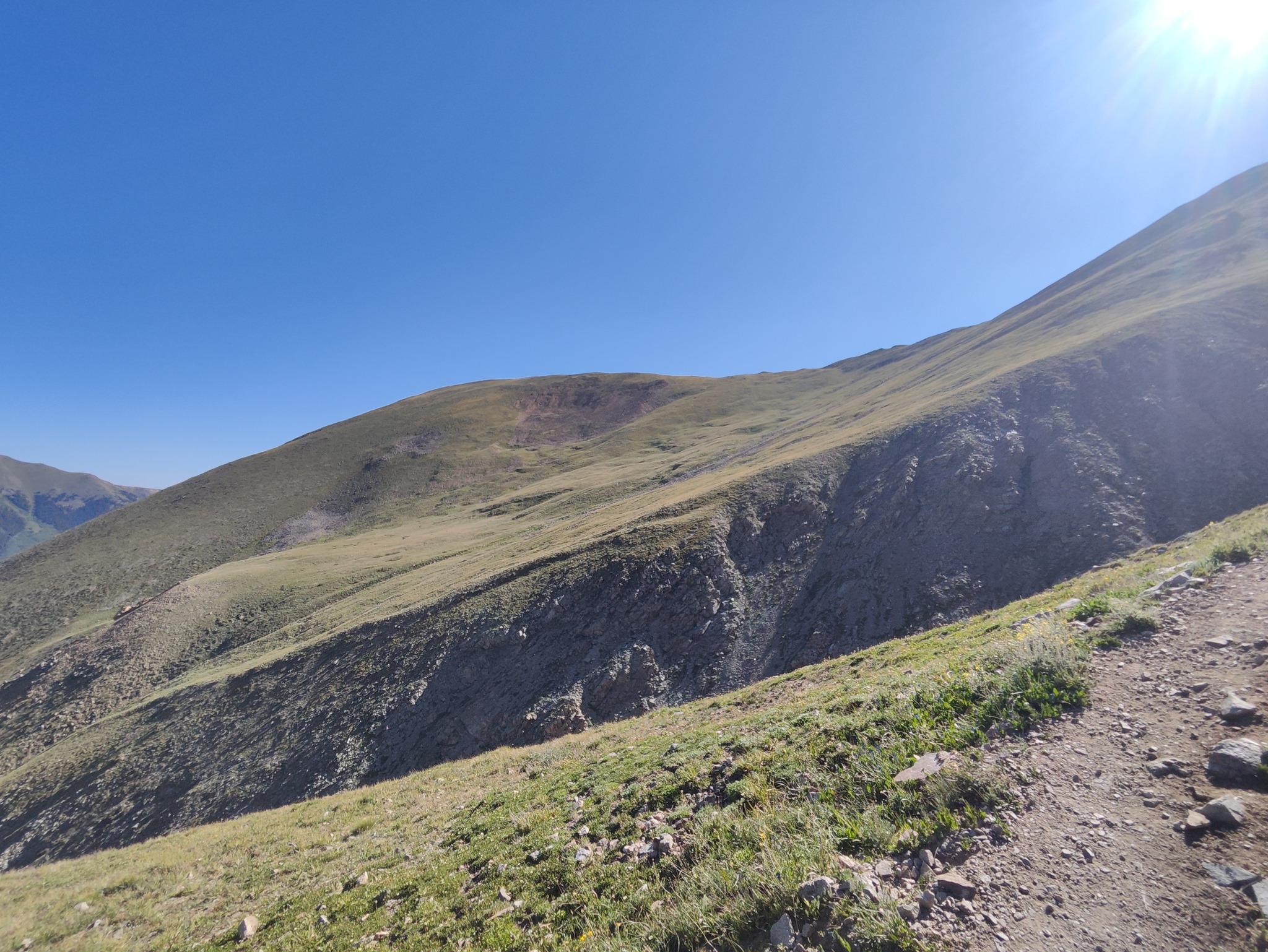
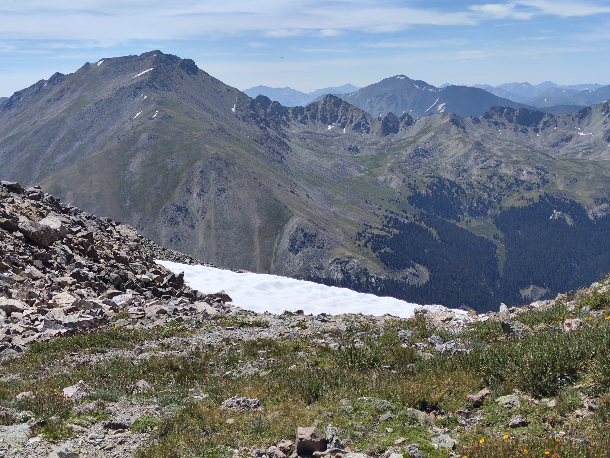
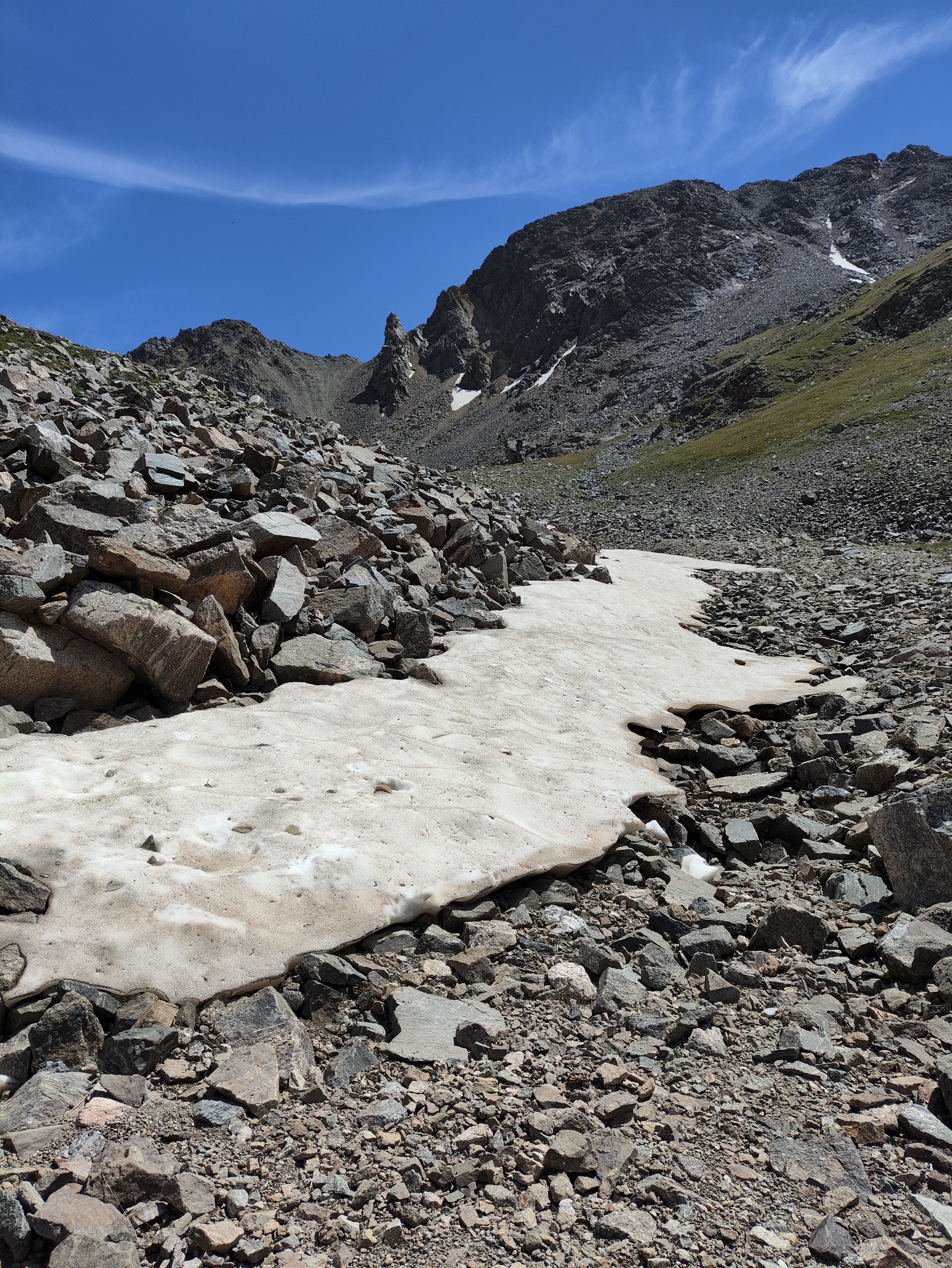
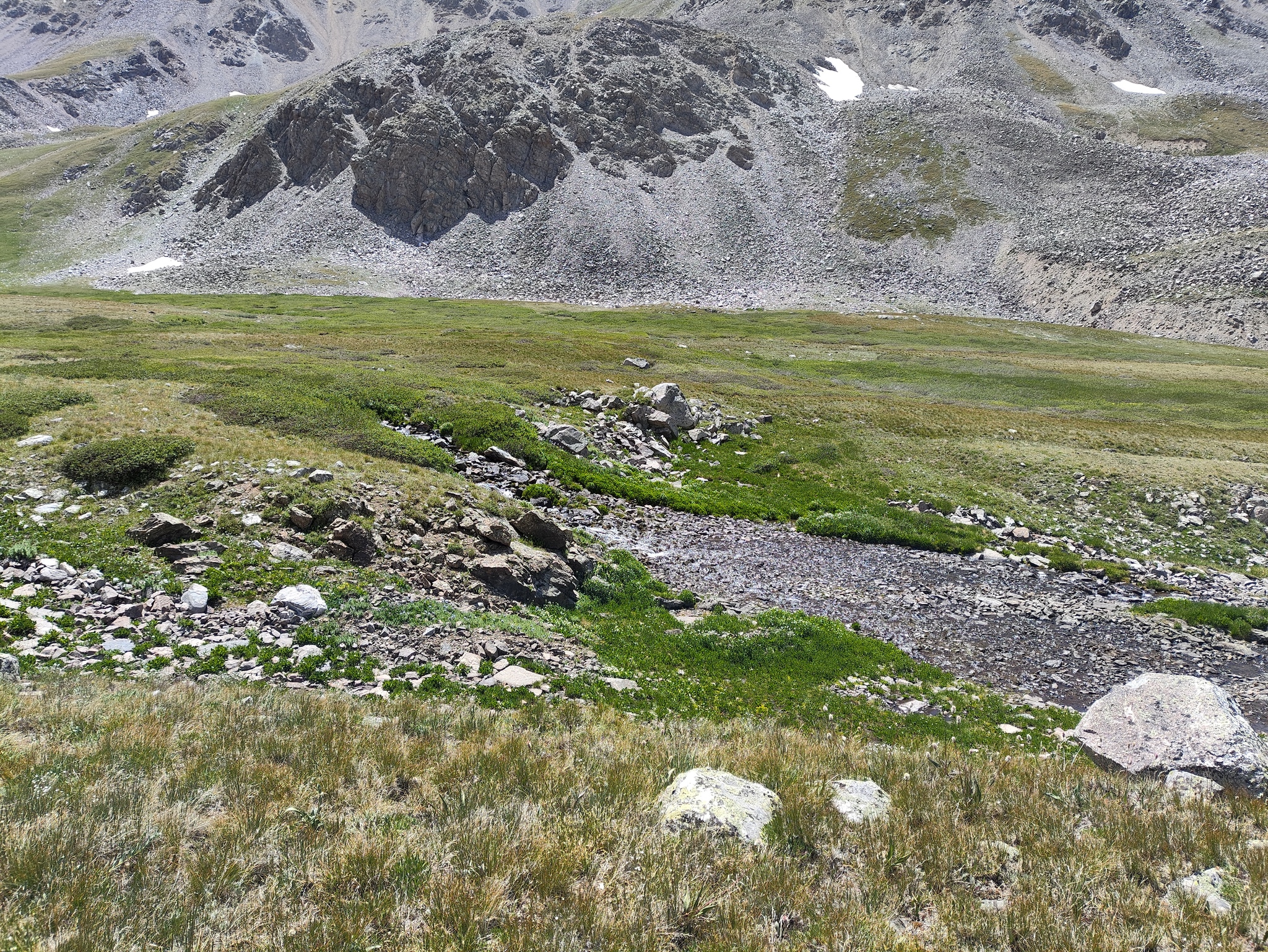
The weather was absolutely, stunningly perfect. I hit Elkhead Pass and only saw a few patches of snow in the distance, including a large snowfield that was feeding Missouri Creek. I hiked and hiked and marveled at the beauty of the place and wish I had had my camping gear with me to stay overnight. Not that I would have really stayed, since there were other adventures waiting for me.
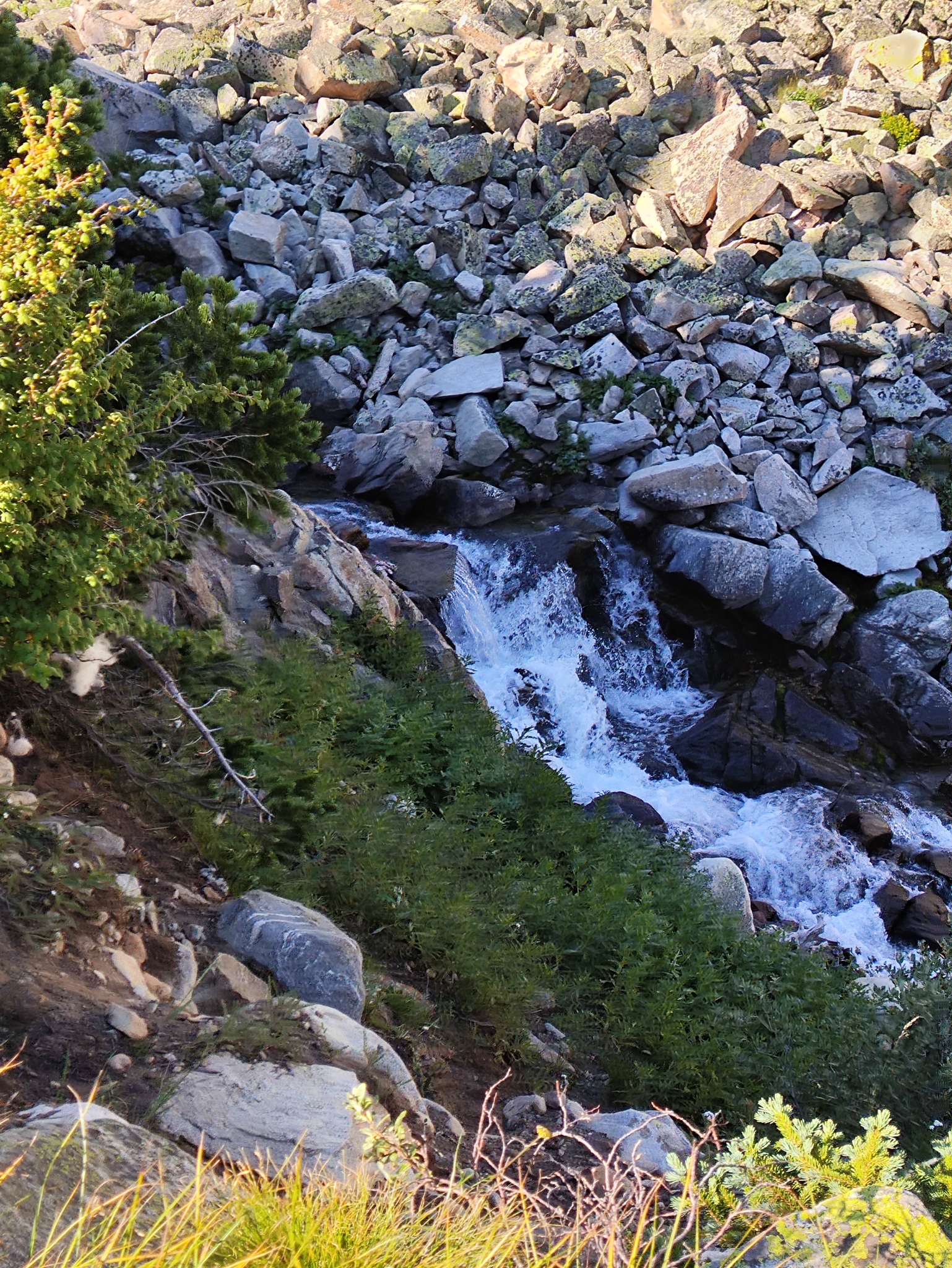
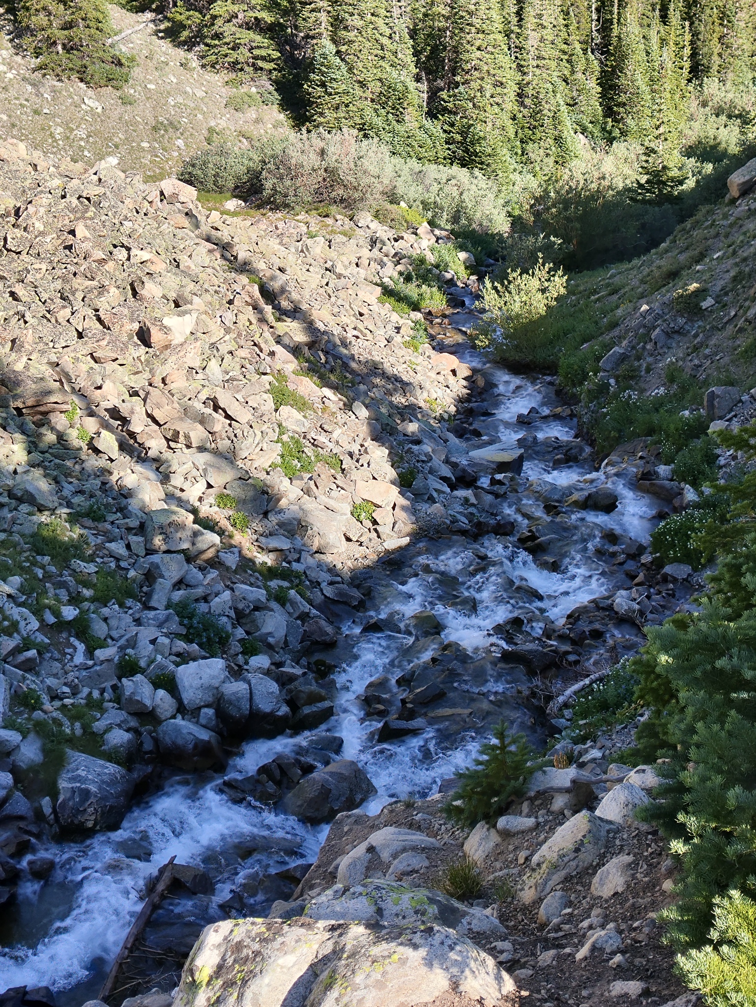
As always, the hiking poles really help on the descent. The trail from the ridge to Elkhead Pass has turned slippery, and having something to brace a slip is really useful. After the pass, though, the trail is very solid - first rocky, then solid clay. I got to the steep section passing people left and right, including two older gentlemen shooting the breeze at the abandoned cabin. And finally, the creek and the parking lot and the car.
I drove off and home. Usually, I would stop for ice cream, but Leadville has turned into a tourist trap and the gelato there is now so-so.
Conclusions
I really wish I had done Oxford on the first try, because the mountain and the trail are entirely forgettable after Belford and Missouri. On the other hand, Missouri Gulch by itself is so beautiful, it’s worth ascending several times.
I was entirely surprised by how much energy you gain by having quality air available. That I could make it to the summit without stopping was a welcome surprise and would come in handy for future climbs.
The experience as a whole was so positive that I decided to book a week-long stay in Lake City to climb the cluster of Fourteeners they have there. Sadly, the weather deteriorated almost immediately after I returned, and I ultimately decided not to go. It turned out that the forecast was too pessimistic and I could have climbed, but the downside of spending a week in the San Juans shut in because of constant rain was too bad to contemplate.
